GITA PapersReducing Damage to Underground Utility Infrastructure During Excavation: August 6, 2020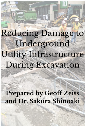
VIEW/DOWNLOAD WHITE PAPER
GECCo: Geospatially Enabling Community CollaborationNo matter the root cause of an emergency –terrorism, natural occurrences, or unintentional human error –the methods of responding to, mitigating, and ideally preventing reoccurrences are based on a coordinated approach that can be greatly enhanced by the use of geospatial information and technology. This cannot happen without enabling the many mutually dependent agencies and organizations charged with protecting our nation’s citizens and infrastructure to efficiently and effectively share their information. View Paper
|
Critical Infrastructure Protection - Emergency Response White Papers |
This is a special White Paper Series entitled "The Geospatial Dimensions of Critical Infrastructure and Emergency Response." It is intended to provide geospatial practitioners with a summary of critical infrastructure interdependencies, reasons why understanding these relationships is vital to effective emergency response, and the important role geospatial technology, data and knowledge can play in addressing our infrastructure-related challenges.
GITA is extremely concerned about the current status of the infrastructure in North America. The Association is dedicated to developing and promoting effective ways to begin to address this increasingly serious problem, by leveraging what it feels are ideal tools: geospatial information and technology.
VIEW PAPER SERIES